By clicking Send , you will be able to reset your password.
Search by Keywords
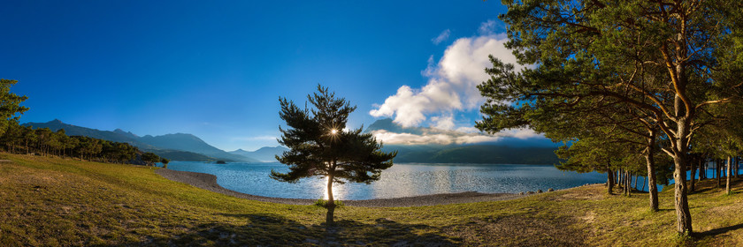
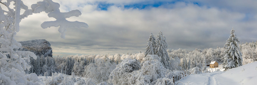
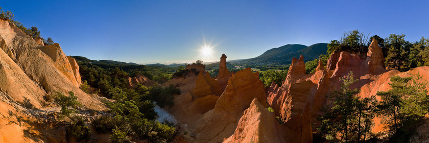
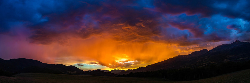
Panoramic Photos
25 Medias
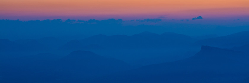
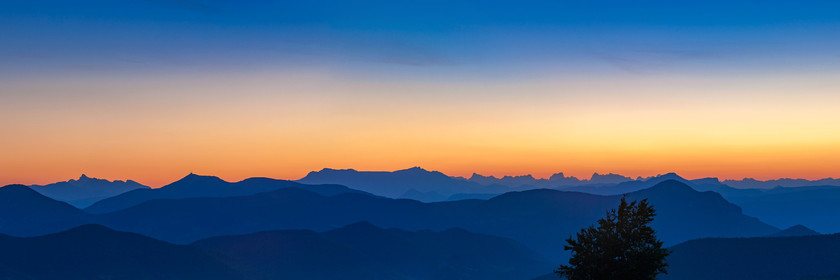
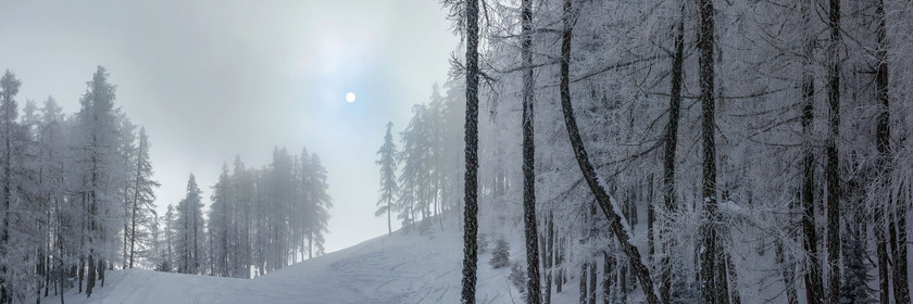
2i6a1092.jpg
10630 x 3543 pixels
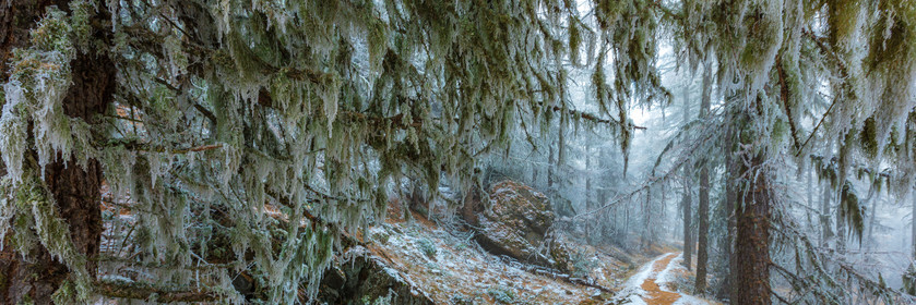
Alpes-de-Haute-Provence (04), Saint-Étienne-les-Orgues, Noyers-sur-Jabron, Montagne de Lure (1 825 m), Espaces naturels sensible , zone Natura 2000
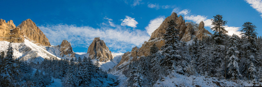
2i6a1164.jpg
10630 x 3543 pixels
Alpes-de-Haute-Provence (04), Saint-Étienne-les-Orgues, Noyers-sur-Jabron, Montagne de Lure (1 825 m), Espaces naturels sensible , zone Natura 2000
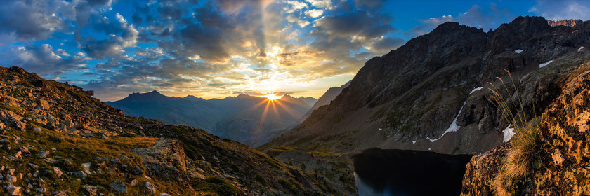
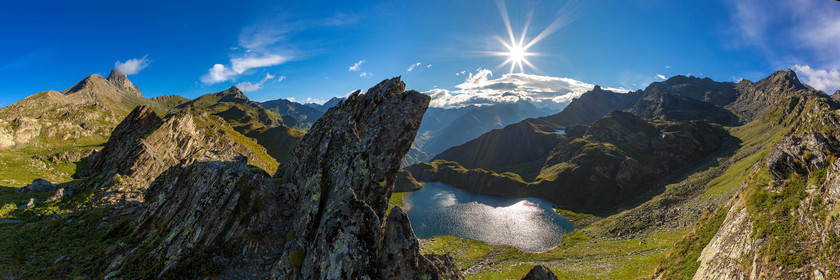
2i6a1438a.jpg
10630 x 3543 pixels
Hautes-Alpes (05), high Romanche Valley, La Grave, lake Puy Vachier and refuge Evariste Chancel
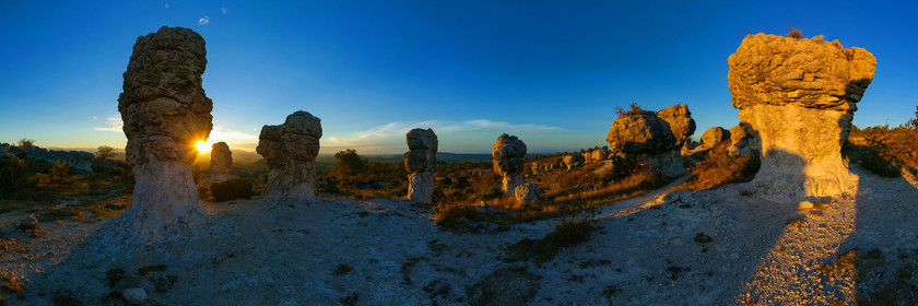
96es4709p.jpg
10630 x 3543 pixels
Alpes de Haute Provence, 04, Forcalquier The Mourres Forcalquier, geological curiosity, limestone Mourres date of 25 million years (Oligocene) at the time and a lake covered Valensole Forcalquier
36036.jpg
10630 x 3543 pixels
63814.jpg
10630 x 3542 pixels
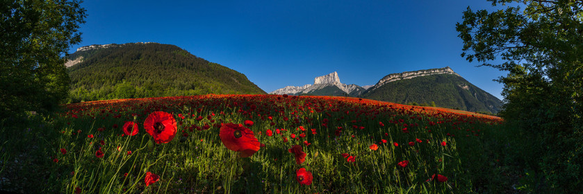
35093.jpg
10630 x 3544 pixels
Isère (38) Vercors Regional Natural Park, Trièves, Mont Aiguille, poppy fields
2r5c5856.jpg
14173 x 4724 pixels
Alpes-de-Haute-Provence, 04, Regional Natural Park of Verdon, Gorges of Verdon
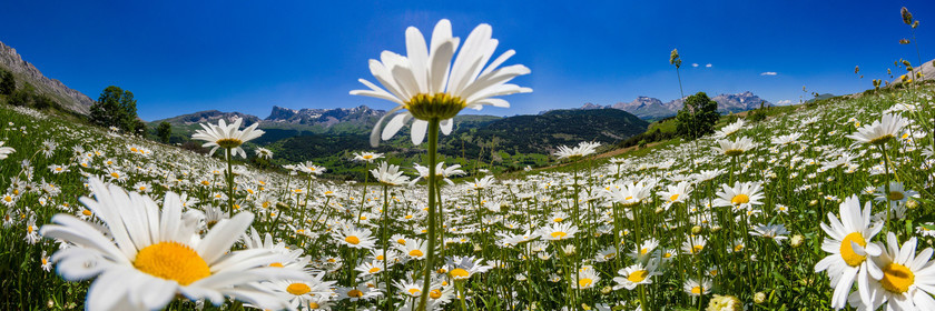
63585p.jpg
12756 x 4252 pixels
oxeye daisy Leucanthemum vulgare
81449.jpg
7087 x 2362 pixels
Hautes-Alpes, 05, Vallée du Champsaur, larch forest
125178.jpg
7087 x 2362 pixels
Drome (26), Pays du Haut-Buëch, Vercors Regional Nature Park, municipality of Lus-la-Croix-Haute, small valley of La Jarjatte, Natura 2000 site
104804.jpg
10630 x 3543 pixels
Alpes de Haute-Provence, 04, Ubaye valley, Saint-Paul-sur-Ubaye Maljasset, Col du Longet source of Ubaye Italian Alps, Blue Lake blue and at the bottom, Monte Viso and the Tête des Toillies (or Tête Noire)
65323.jpg
14173 x 4724 pixels
Hautes-Alpes, 05, Ecrins national park, valley of Valgaudemar, Pétarel lake
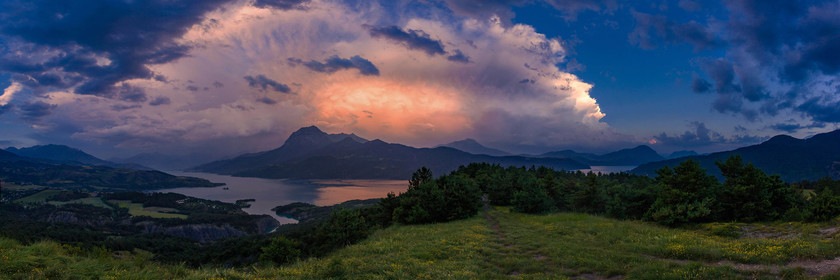
2r5c3171.jpg
15945 x 5315 pixels
Hautes-Alpes (05), 05, lake Serre-Ponçon
126917p.jpg
10630 x 3543 pixels
Isère (38), Natural regional Park of Vercors, La Rivière, Saint-Gervais, Rencurel, sensitive natural area of the Isere, The Ecouges
89393p.jpg
10630 x 3543 pixels
148288.jpg
10630 x 3543 pixels
Hautes-Alpes (05), 05, lake Serre-Ponçon
biaysse022p.jpg
7087 x 2362 pixels
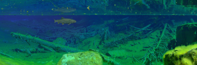
Hautes-Alpes (05), Ecrins National Park, Freissinières Valley, River Jelly Biaysse
142319.jpg
14173 x 5669 pixels
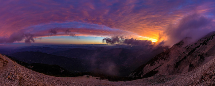
Vaucluse (84), Mont Ventoux, nicknamed the Giant of Provence or Bald Mountain, classified biosphere reserve by UNESCO and Natura 2000 site
p8270031-a.jpg
10630 x 3543 pixels
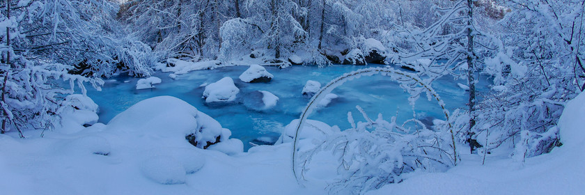
Hautes-Alpes, 05, Valley ClaréeVallée Etroite, the Lac Vert is located 1834 m above sea level. Its specific staining is due to the presence of algae covering the bottom, and his shallow. Completely surrounded by forest, the lake is dotted with dead trees.
s10089p.jpg
10630 x 3543 pixels
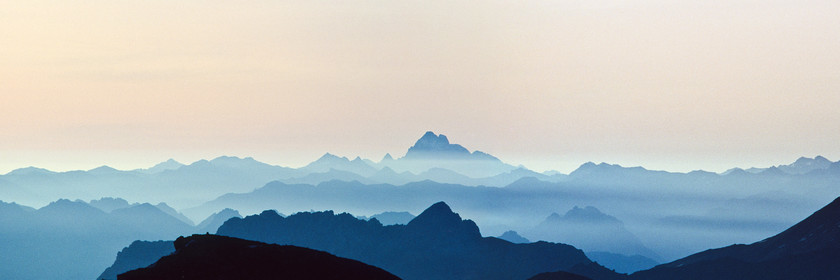
Hautes-Alpes, 05, Queyras Regional Park, Mont Viso, 3 841 mètres
149274p.jpg
10630 x 3544 pixels
Hautes-Alpes (05), Champsaur valley,
sc1133.jpg
10630 x 3543 pixels
Hautes-Alpes, 05, Vallouise, Pelvoux, Glacier Blanc,The Barre des Écrins (4,102 m) is a mountain in the French Alps, the highest point of the Massif des Écrins, and the most southerly alpine peak in Europe that is higher than 4,000 metres.
147256.jpg
10630 x 3544 pixels
Alpes de Haute-Provence, 04, Ubaye valley, village of Lauzet-sur-Ubaye,, Lauzet lake
104769.jpg
10630 x 3543 pixels
Alpes de Haute-Provence, 04, Ubaye valley, Jauziers, Lake Tour of Sagnes and larch forest in autumn